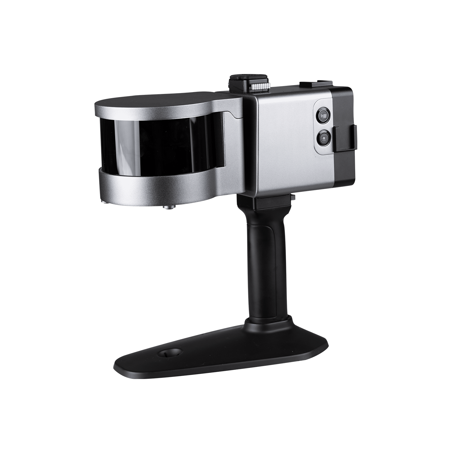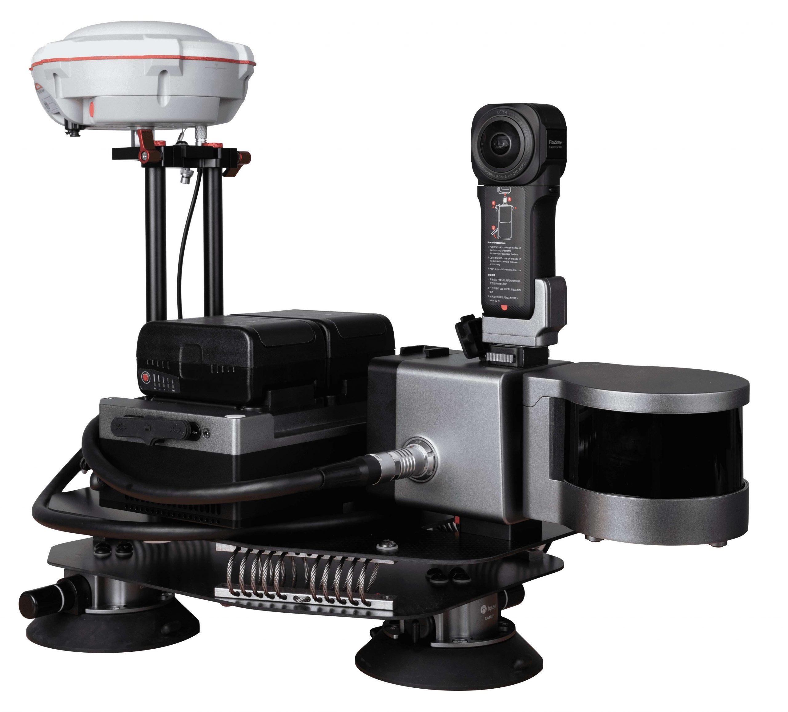
LS300 Laser Scanner
The LS300 Laser Scanner uses SLAM technology (simultaneous localization and mapping), which is real-time positioning and mapping technology. It does not rely on GNSS positioning, and performs self positioning and incremental 3D mapping in unknown environments, including indoors and outdoors. Its lightweight design makes measurement work so easy. With synchronous data acquisition, simply walking around can complete the information data collection. ComNav Technology is committed to providing user-centered 3D laser mobile scaner measurement system product solutions, bringing users a better work experience.


New color status display screen
A new color status display screen with a larger size supports more information display as well as operating instructions which making it easier to use and getting started.
Hot Swappable Batteries
The LS300 adopts two batteries uninterruptible redundancy design, supports hot swapping and replacement of batteries, and has this technical patent.
APP Real Time Preview
During operation, APP can browse point cloud data in real time which support multiple browsing interaction modes and more humn-computer interaction content.
Innovative Hybrid Solving Technology
Experience a paradigm shift with the LS300, showcasing groundbreaking hybrid solving technology. This unique capability allows simultaneous post-processing of preceding data during scanning, resulting in a notable enhancement in the speed and efficiency of acquiring high-precision data like never before.
Technical specifications
|
Weight |
1.35 kg (handheld parts) |
|
Working Temperature |
-35°C~+60°C |
|
Storage Temperature |
-40°C~+85°C |
|
SSD |
500GB (expandable) |
|
IP Code |
IP54 waterproof and dustproof |
|
Relative Accuracy |
1cm (peak) |
|
Scanning Range |
120 meters |
|
FOV (Field of Scan) |
360°x 285° |
|
Scanning Speed |
320,000 Points per second |
|
Scan Positioning |
SLAM (No need for GPS) |
|
Solution Method |
Hybrid algorithm |
|
Live Preview |
Mobile APP |
|
No. of Laser Sensor |
1 |
|
Safety Level |
Class I |
|
Laser Lines |
16-line |
|
Type |
Lithium-ion battery (hot swap) |
|
Capacity |
98Wh/6.8Ah |
|
Voltage |
14.4V |
|
Battery Time |
4 hours |
|
Charging Temperature |
0°C~+40°C |
|
Operating Temperature |
-20°C~+50°C |

All rights reserved by GEOiNSTRUMENTS © 2018
High accuracy GNSS technology