FieldGenius data collection software
Microsurvey FieldGenius supports a wide range of GNSS receivers and hand-held data collectors. With the simplest linework connectivity in the industry, no coding is required to generate your linework in the filed in real time. FieldGenius is laid out with logical icons, customizable toolbars and powerful calculating tools, which help surveyors improve productivity in the field.

Features
- Full RTK GNSS support using either network RTK or base/rover pair
- Profiles for multiple receivers – makes setup easy
- Automatic geodetic transformations from WGS84 to local coordinate systems
- Dynamic GPS toolbar – HDOP, VDOP, PDOP and satellites
- Heads-up display shows lat/long or grid coordinates
- Horizontal/vertical adjustment
- Supprts RTCM transformation messages

Code-free linework
Linework is created automatically without entering codes and is instantly displayed, eliminating the need for a separate sketch. No need to connect the dots back at the office.
Advanced display
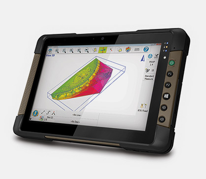
Advanced display with live graphics and intuitive interface. Logical icons, customizable toolbars, smart objects, and easy-to-use GPS and total station controls. Standard or high-definition devices!
Easy stakeout
Choose between graphical compass, grid, and map staking modes to easily stake out points. Viewing direction can be adjusted based on your preferences.
Productivity tasks
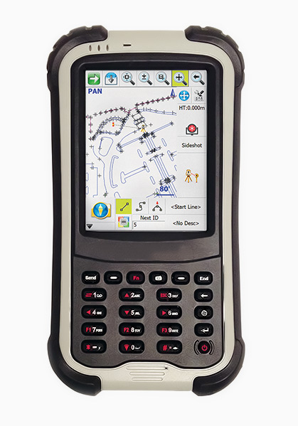
Customize your data collector by assigning commands to your keypad keys.
Calculating tools
Access the built-in RPN calculator from any edit field and easily use surveying calculations.
Productivity driven
Plus advanced roading, surfacing, slope staking, smart points, DXF & LandXML import/export, and full robotic and GPS support. FieldGenius is the choice of organizations that value productivity.

All rights reserved by GEOiNSTRUMENTS © 2018
High accuracy GNSS technology
High accuracy GNSS technology